Spatial Art History Tutorials and Training

The phrase “spatial art history” is definitely a mouthful, but its meaning is simple: using digital methods and tools to show where something is located in space. Think the placement of points on a map, or visualizing the steps in a journey. As a discipline, art history is ideally suited to spatial thinking, because most of the cultural production we study-from its creators, objects structures, and sites-can all be situated “in space,” even if the location is transient or mutable over time.

However, this doesn’t mean that all art history research warrants spatial exploration, even if a spatial component exists.  Like any foray into digital art history, clear reasoning for why spatial inquiry fits into the scope of a project is a primary consideration. Questions to ask yourself include:

  1. Does my project have a spatial component that would be difficult to describe or represent in written or verbal form? Would using digital tools to visualize my research in space help my audience better understand it?
  2. Could the analysis of my research be aided by spatial representation?  For example, would placing locations on a map help me understand something I couldn’t otherwise, or potentially generate new questions for further inquiry? 

If the answer is “YES” to either or both of these questions (or maybe, or even no!), continue taking in this tutorial page on spatial art history!
Spatial Art History in Practice: Introductory article from Historical Geography

Spatial Art History in Practice: Introductory article from Historical Geography

Spatial Art History in Practice: Artists in the City: Mapping the Art Worlds of 18th Century Paris

Spatial Art History in Practice: Artists in the City: Mapping the Art Worlds of 18th Century Paris

Getting started with Spatial Art History

Introduction to Data for Digital Art History

At the heart of most digital art history projects is a robust data set. However, as art historians we rarely create or utilize data sets from our research, particularly for the purposes of archives, analysis, and visualization. This tutorial provides a solid grounding in how to think about and create data sets for digital art history (and more broadly digital humanities) projects. 

Data for Spatial Art History

All areas of digital art history have their own data requirements in order to be properly executed, with spatial art history as no exception. This brief tutorial speaks specifically to the data needs for spatial art history projects. 

Augmenting maps

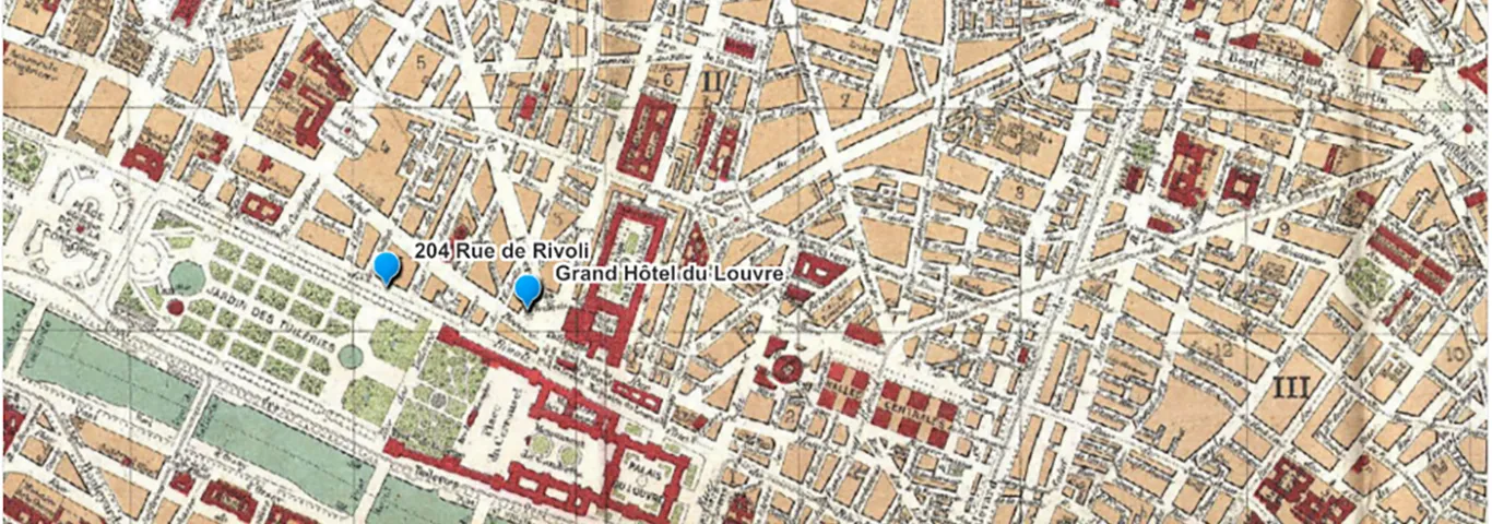
Historic maps provide an excellent basis for spatial art history exploration by allowing you to map the past to the present, as well as to augment and provide clarity to historic maps based on your own research. This quick

tutorial explains how to colorize historic maps (to draw out individual features, for example), and to create paths showing direction and movement using both Adobe Illustrator and Adobe Photoshop (both of which are available for your use in the DAHL!)

Google Earth Tutorials
One of the simplest and most effective ways to create a geographically specific, visually interesting map cutomized to your research is using Google Earth Web. You can even overlay a historic map onto a current map! Or if you're interested in creating an immersive, overhead or bird's eye "tour" of an area using sattelite imagery, dive into Google Earth Studio!

ArcGIS online
 Geographic Information Systems (GIS) allow you to create, analyze and map data sets. However, the learning curve for more advanced GIS software can be steep. To create more simple maps while learning transferable skills to take to the next level of GIS, ArcGIS online is a great beginning. Dive into this tutorial developed by WUSTL's GIS librarians to learn more!

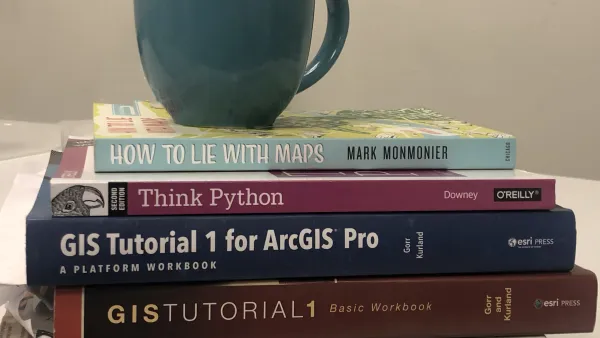
Did you know that the DAHL has a great library of (actual, for real!) books to get your spatial art history creative juices flowing? Or that we have work stations fully equipped with a broad range of software (including GIS) that will assist you in your projects? Let us know you'll be stopping by, and we'll be here to get you started! 

Advanced Spatial Art History

If you've created your first "beginning" spatial art history project and now have a thirst for more advanced spatial art history practice, consider taking GIS coursework through WUSTL's University College or LinkedIn Learning (requires WUSTL Key). 

University College GIS Courses

University College GIS Certificate Program

WUSTL LinkedInLearning (Recommended tutorial: Advance Your Skills in GIS; Learning ArcGIS Python Scripting; Learning QGIS)

Additional Resources:

Introduction to Cultural Analytics and Python 
Knowing the programming language Python can be invaluable for advanced GIS work, and more for digital humanities projects. This introduction to Python was written by a former WUSTL graduate student, with humanists and social scientists as its audience!

WUSTL Data Services
Located in Olin Library, the WUSTL Data Services group can be invaluable for helping you think through and troubleshoot more advanced spatial projects. As a bonus, a GIS lab with a regular help desk is adjacent to their offices!